
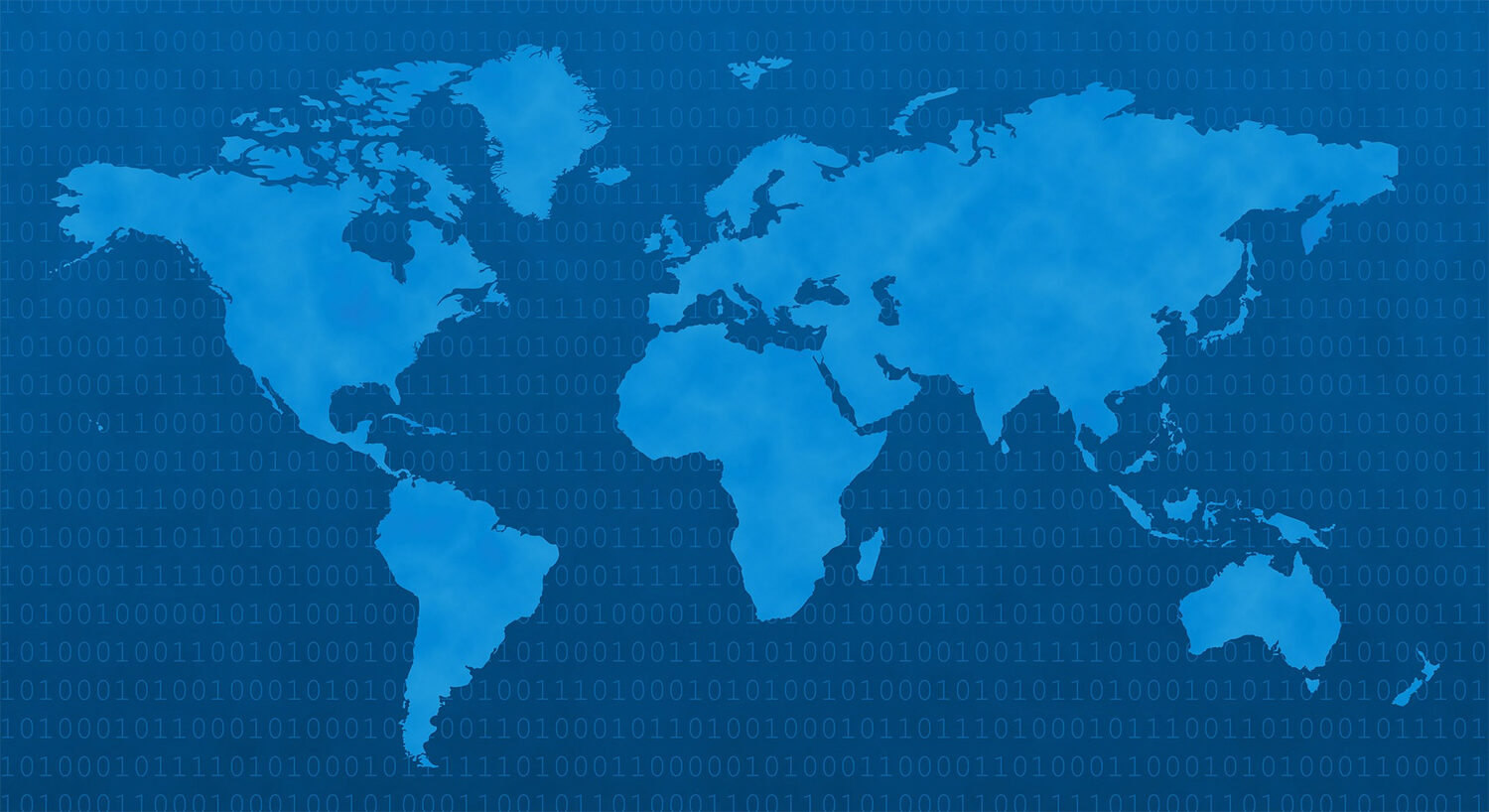
GEOGRAPHIC INFORMATION SYSTEM (GIS)
A geographic information system (GIS), or geographical information system, captures, stores, analyzes, manages, and presents data that is linked to location.
In the strictest sense, the term describes any information system that integrates stores, edits, analyzes, shares, and displays geographic information. In a more generic sense, GIS applications are tools that allow users to create interactive queries (user created searches), analyze spatial information, edit data, maps, and present the results of all these operations. Geographic Information Science is the science underlying the geographic concepts, applications and systems, taught in degree and GIS Certificate programs at many universities. [ For More Click Here]
Related Posts

Zamzam water can be contaminated just like ordinary water. It is purified using technologies developed by non-Muslims before being distributed
Zamzam well water is regarded as highly sacred and religiously significant in the Muslim world.Read More
জমজমের পানি কিন্তু অন্য সাধারন পানির মতোই দূষিত! বিধর্মীদের প্রযুক্তি ব্যবহার করে তা বিশুদ্ধ করা হয়!
জমজম কূপের পানি মুসলিম বিশ্বে অত্যন্ত পবিত্র ও ধর্মীয়ভাবে গুরুত্বপূর্ণ হিসেবে বিবেচিত। এই পানি নিয়েRead More

After Being Arrested on Child Rape Charges, Madrasa Teacher Says He “Does Not Like Women”
Recently in Bangladesh, after a madrasa teacher was arrested on allegations of child rape, aRead More
Comments are Closed